Heavy Rain Shifts South as Brisbane Residents Monitor Rising Water Levels
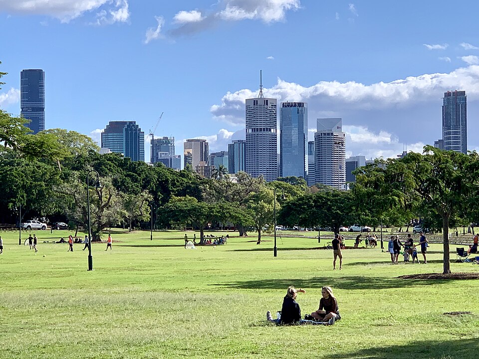
Residents in inner-city Brisbane suburbs including New Farm, Teneriffe, and Fortitude Valley were urged to monitor water levels as a band of heavy rain moved across the state. The Bureau of Meteorology warned on Monday that widespread minor to moderate flooding was possible across much of Queensland, with isolated major flooding also likely.
Senior meteorologist Helen Reid confirmed that the heaviest falls were moving toward the central interior and the areas north of the Sunshine Coast. While the heavy rain was concentrated further north, showers and rain did impact the far south, including Brisbane and the Gold Coast.
Emergency Alerts and Flash Flooding Warnings
Queensland Police reported that the State Emergency Services received 54 calls for help between 6pm on Sunday and Monday morning. Most of these calls related to flooding and structural damage in the South Burnett and Gympie regions.
Police issued an emergency alert at 9.30am on Monday for Rubyvale, instructing residents to leave the area immediately due to a threat to life and property. Similar emergency warnings were issued for the town of Sapphire, while watch and act alerts went out for Jandowae and Chinchilla.
The Central Highlands Regional Council had issued a specific warning for flash flooding in the Policemans Creek and Rubyvale area. Residents were told to move to higher ground and warn others as the water levels rose rapidly.
The ABC reported that multiple minor to major Flood Warnings were current across Queensland as the situation developed. Reid flagged high rain rates and flash flooding throughout the day as the trough moved across the region.
Record Rainfall Totals and River Levels
Some of the heaviest rain fell on Sunday afternoon in the Wide Bay, Central Highland, and Burnett regions. Overnight, rain ramped up across areas north of the Sunshine Coast, mainly in the Wide Bay and Burnett district.
Widespread rainfall totals of 90mm to 100mm were recorded, with locally higher falls pushing up to more than 150mm. 7NEWS reported top rainfall totals between 9am Sunday and 5am Monday included 239mm at Bruvinia, 209mm at Boondamurapita, and 199mm at Karanga.
The Boyne River at Cooranga was sitting at 14.89m on Monday, which is well above the major flood level of 7m. This indicates the severity of the situation in the central regions as the low pressure trough continues to draw in significant moisture.
A severe weather warning for heavy rainfall was current and covered the central interior and south-eastern parts of Queensland. Reid noted that falls in the southern areas were likely to be more moderate compared to the intense storms further north.
Historical Context of Queensland Flood Events
The current weather pattern mirrors previous severe events that have tested the state’s infrastructure and emergency response capabilities. Queensland has a long history of dealing with low pressure troughs that draw in significant moisture from the Coral Sea. These systems often stall or slow down, leading to prolonged periods of high-intensity rainfall.
Historically, the central interior and the areas north of the Sunshine Coast have borne the brunt of these atmospheric rivers. The Boyne River basin, for example, has seen dramatic rises during similar trough events in the past. The current reading of 14.89m at Cooranga highlights the recurring nature of major flooding in this specific catchment.
Previous years have shown that when the focus of rainfall shifts south, the risk to the Brisbane metropolitan area increases. While the immediate threat of life-threatening flash flooding was concentrated in the Central Highlands, the hydrological connection means water takes time to travel downstream. This delay often creates a window of uncertainty for residents in the inner city.
The pattern of “isolated major flooding” alongside “widespread minor to moderate flooding” is a recurring theme in Queensland’s climatic history. It suggests that while some areas may only see garden flooding, others face immediate danger to property and life. This dichotomy often strains emergency services as they attempt to prioritize the most critical calls.
Reid’s comments about the trough moving across the region echo warnings issued during similar events in the past. Meteorologists have long tracked the movement of these low pressure systems from the tropical coast toward the central interior. The shift in focus from the north to the south-eastern coasts is a predictable, yet dangerous, progression.
Impact on New Farm, Teneriffe, and Newstead
Residents in New Farm, Teneriffe, and Newstead faced a period of heightened vigilance as the rain band approached. Although Reid noted that falls in these southern areas were likely to be more moderate, the proximity to the Brisbane River remains a key factor. Even moderate rainfall upstream can contribute to rising water levels in the city’s inner suburbs.
The urban geography of these suburbs includes low-lying areas near the riverbanks and industrial zones in Teneriffe. Flash flooding in such built-up environments can occur rapidly if drainage systems become overwhelmed. The advice to monitor water levels was critical for residents living in these specific zones.
Businesses along the riverfront and in the industrial precincts of Teneriffe had to prepare for potential water ingress. The threat of structural damage, as seen in the South Burnett and Gympie regions, serves as a stark reminder of the potential consequences for the inner city. While the 54 calls to SES were concentrated further north, the potential for a similar surge in the city remained a concern.
Traffic patterns in Fortitude Valley and along the Bruce Highway were also under scrutiny. Heavy rain often leads to reduced visibility and standing water on major arterial roads. This can cause significant delays for commuters and emergency vehicles attempting to reach affected areas.
The psychological impact on residents cannot be understated. Having seen the severe alerts issued for Rubyvale and Sapphire, inner-city residents were acutely aware of the power of the weather system. The uncertainty of exactly how much rain would fall locally added to the tension in these communities.
Economic and Lifestyle Implications
For the local economy, the threat of flooding poses a risk to retail and hospitality sectors in New Farm and Fortitude Valley. Water damage to inventory, electrical systems, and building structures can result in significant financial losses. Small businesses are often the most vulnerable to even minor flooding events.
Property values in flood-prone areas can be sensitive to such weather events. While the immediate impact was a warning rather than a confirmed disaster, the perception of risk can influence buyer confidence. The mention of “immediate threat to life and property” in other regions reinforces the fragility of assets in low-lying zones.
Lifestyle disruptions are also a major factor. Residents were advised to stay alert and potentially move to higher ground if conditions deteriorated. This level of preparedness interrupts daily routines and forces residents to prioritize safety over normal activities. The need to monitor water levels constantly creates a state of low-level anxiety.
Infrastructure resilience is tested during these events. Drainage systems in older suburbs like New Farm and Newstead must cope with the volume of water. If the moderate rain persists, the cumulative effect could overwhelm local drains, leading to localized flash flooding even without major river rises.
The broader economic impact extends to the cost of emergency response. With 54 calls already received by the SES in the South Burnett, resources are stretched. If the inner city faces similar issues, the cost to the public purse for rescue and recovery operations will increase.
Next Steps and Monitoring
Residents in the inner city must continue to monitor official updates from the Bureau of Meteorology and Queensland Police. The focus of the rainfall is expected to remain across northern, central, and southeastern Queensland for the next couple of days. 7NEWS noted that the situation is dynamic and requires constant attention.
Emergency services are likely to remain on high alert as the low pressure trough continues to draw in moisture. The severe weather warning for heavy rainfall covers the central interior and south-eastern parts of Queensland. This means the threat of high rain rates and flash flooding persists throughout the day.
Local councils in New Farm, Teneriffe, and Newstead may issue specific local warnings if water levels in the Brisbane River begin to rise. Residents should check their local council websites and social media channels for real-time information. The advice to “watch and act” remains relevant for all residents in the path of the rain band.
Authorities will continue to track the movement of the trough to predict where the heaviest falls will occur. Reid stated that the heaviest falls today will depend on where the low pressure trough moves. This uncertainty means that residents must be prepared for a range of outcomes, from light showers to significant flooding.
Future decisions regarding road closures or evacuation orders will depend on the actual rainfall totals recorded in the coming hours. The community must stay informed and follow the instructions of emergency services to ensure their safety. The situation is fluid, and the next 24 hours will be critical for determining the full extent of the impact.